
A plot located outside any area defined by a local urban planning scheme poses a concrete problem: what rules apply there? When a municipality does not cover its entire territory with an urban planning document, certain sectors remain without specific designation. These are the spaces that practitioners call “white zones.” Understanding the functioning of white zoning helps to grasp why these lands generate both opportunities and tensions.
National urban planning rule: what applies in white zones
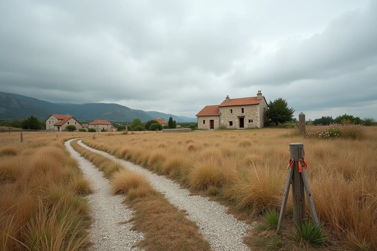
Imagine a plot on the outskirts of a town. The local urban planning plan (PLU) covers the center and recent subdivisions, but not this plot. No local rule specifies what can be built there, at what height, or with what setback.
Further reading : Everything You Need to Know About Car Registration and the Eurovignette for Driving in the Netherlands
In this situation, it is the national urban planning regulation (RNU) that takes over. The RNU sets a minimal baseline: health, public safety, respect for the character of the places. The mayor then processes each permit application on a case-by-case basis, without a predefined zoning grid.
This case-by-case approach provides some flexibility, but it also creates unpredictability. A project developer does not know in advance whether their construction will be accepted. The neighbor next door may receive a refusal for a similar project if the local context differs slightly.
Related reading : Ideas and tips for sharing enriching moments with family daily
To better understand white zoning in urban planning, it is important to keep in mind this particularity: the absence of a plan does not mean the absence of rules, but the absence of predictability.
Land use sobriety and the Climate Law: why white zones are closing
For a long time, white zones served as a variable for adjustment. A municipality lacking buildable land could authorize projects there without modifying its PLU. This mechanism worked as long as land seemed abundant.
The Climate and Resilience Law has changed the game. Its goal of zero net land artificialization (ZAN) requires local authorities to drastically reduce the consumption of natural land. The implementing decrees have pushed prefectures and regions to integrate stricter criteria into their framework documents (SRADDET, prefectural directives) to open new sectors to urbanization.
Any opening of a white zone must now demonstrate that already urbanized land has been optimized. In practical terms, a municipality wishing to make a plot in a white zone buildable must prove that it has first explored the densification of existing buildings, the conversion of brownfields, or the infill of gaps.
This tightening directly affects small rural municipalities. Those without a PLU (and thus many white zones) face a paradox: they have available land but can no longer open it as easily as before.
Environmental zoning without legal value: a real hindrance in white zones
You may have noticed on municipal maps hatching or shades indicating “ecological stakes zones” or “remarkable habitats.” These zonings often have no direct legal force. They create neither servitude nor formal prohibition.
However, these maps significantly influence urban planning decisions. Recent impact studies show that permit reviewers and administrative judges rely on these inventories to justify refusals or impose prescriptions. A plot located in a white zone but covered by an inventory of remarkable habitats is unlikely to obtain a building permit without heavy conditions.
This phenomenon creates a layering of constraints that local elected officials poorly understand:
- Ecological stakes maps, although not enforceable, serve as argumentative bases in administrative litigation
- Inventories of wetlands or ecological corridors effectively limit construction possibilities even in the absence of local rules
- Project developers discover these constraints late, often after incurring study costs
For a municipality, leaving a sector in a white zone thus exposes property owners to increasing legal insecurity, where informational documents end up producing effects comparable to those of formal zoning.
PLU or municipal map: exiting the white zone with the right tool

Why do some municipalities choose to cover their entire territory with an urban planning document, even when nothing legally obliges them to do so? The answer lies in one word: control.
A PLU allows for the classification of each plot into a specific zone (urban, to be urbanized, agricultural, natural). The municipal council sets the rules, densities, and heights. Property owners know their rights in advance. Legal disputes decrease because decisions are based on a written and enforceable framework.
For small municipalities that do not have the means to develop a complete PLU, the municipal map offers a lighter alternative. It distinguishes buildable sectors from non-buildable sectors without going into the details of architectural rules. The municipal map reduces the white zone without imposing the complexity of a PLU.
The choice between these two tools depends on several factors:
- The size of the municipality and local land pressure lean towards a PLU when permit requests are frequent
- The available engineering budget, knowing that a PLU mobilizes study offices for several years
- The political will to freeze or not certain land uses, particularly agricultural ones
- The obligations related to ZAN, which make anticipatory planning preferable to case-by-case management
Municipalities that maintain large white zones take a calculated risk. They retain short-term flexibility but expose themselves to litigation and regulatory blockages as land sobriety requirements strengthen. Anticipating the complete coverage of the territory with an urban planning document remains the most protective strategy, both for elected officials and for residents wishing to build or develop their plot.